FJ Cruisers of Northern California
Mendocino National Forest
This Memorial Day with all of the snow that we received we wanted to make sure that we went where there would be little chance of snow. Additionally we wanted to keep it relatively close to home, so we ended up going to Mendocino national forest.
Day 1:
We left late on Friday the 27th and drove up I5 to the Maxwell exit and then headed west until we got to Goat Mountain Road. Goat Mountain Road is a fairly easy road that takes you by Stoney Creek and into the Mendocino National forest, the last stop for gas is just before East Park Reservoir.
The road is in pretty good shape, a Honda Civic could easily make it :-). Below is a brief section of the drive (I apologize in advance for the music and noise...didn't get a chance to edit the sound):
Here is the map to our first stop:View Memorial Day 2011
Our first campsite was just off of Goat Mountain Road, we found a little camp site at the confluence of Little Stoney Creek and Trout Creek. I did try some fishing but had no luck, I did spot some though. It was tough to cast a fly in such cramped quarters.
 |
| Camp on Night 1 |
 |
| Little Stoney Creek (Next to Camp) |
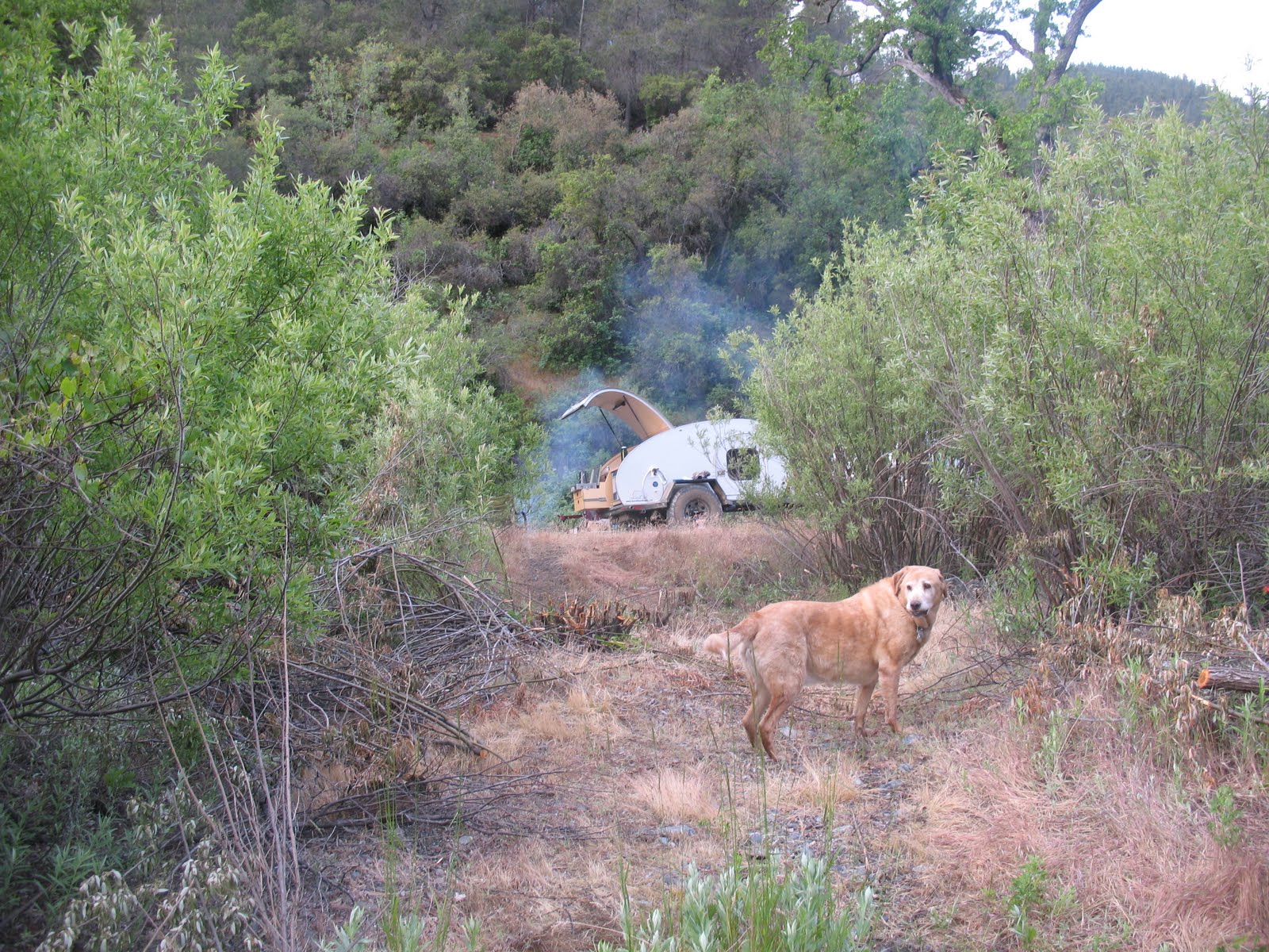 |
| Short Path to Camp - Major was fond of this spot |
 |
| Another view of the Creek |
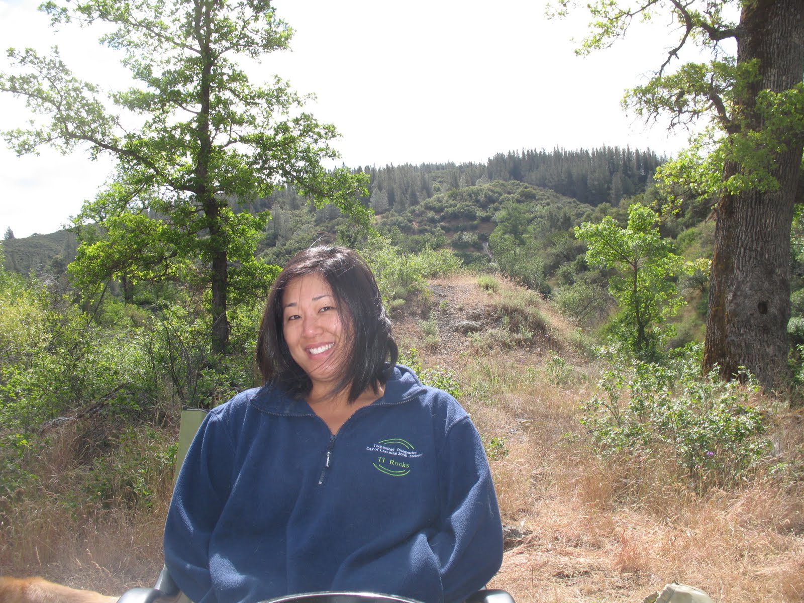 |
| Katie the next morning |
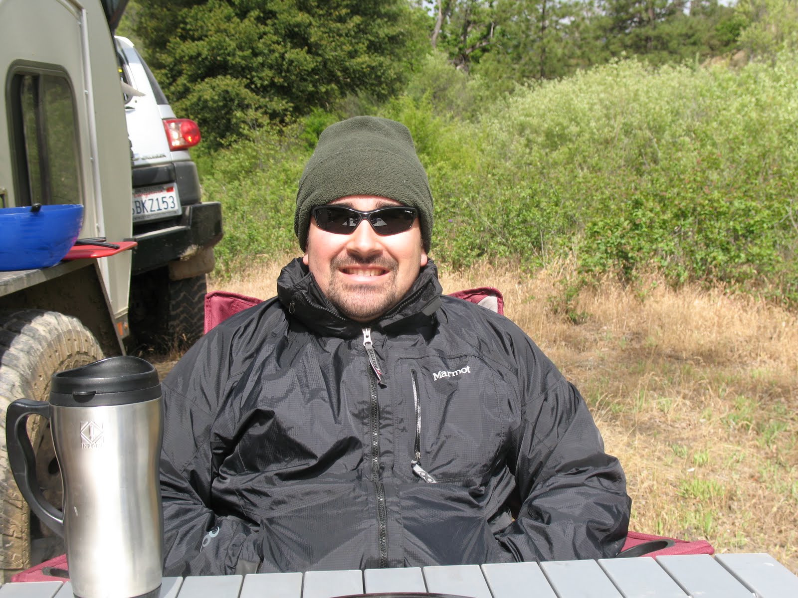 |
| Esty the next morning |
Day 2
Had a great breakfast in the morning - Katie is getting quite skilled cooking out of the small galley! Didn't get too cold at night but we did realize...a little late....that the trailer was not exactly level...which meant that I got squished all night :-). We packed up camp and the sun that was out earlier quickly got covered by some clouds, we didn't get a ton of rain but enough to where we spent a few hours of the afternoon at the second campsite just taking a nap in the trailer waiting for the rain to clear.
View Memorial Day 2011 in a larger map
The road again was in fairly good shape, 16N44 got a little bumpier then Goat Mountain but overall it wasn't bad.... possible a Civic - but probably a better fit for a Subaru. I should note that the spur down to Wyley Glade has a lot of overgrown brush and you will get some nice pinstripes if you head down it. I of course went down it! Some video:
The campsite was great overall - there was some glass around the campfire ring but we were able to clean up most it. Here are some pics of the trail and of the camp site:
  |
| Right before the spur down. |
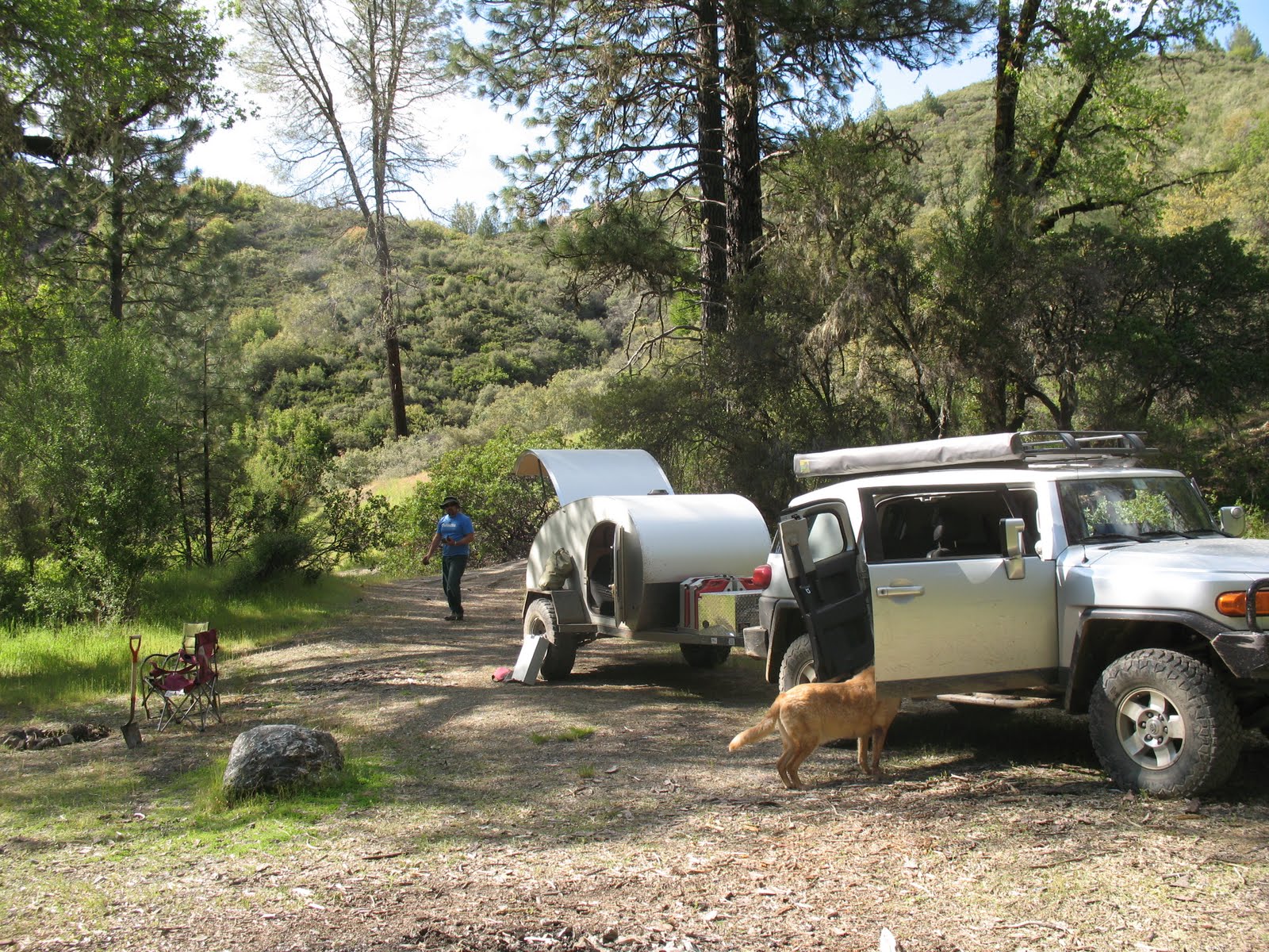
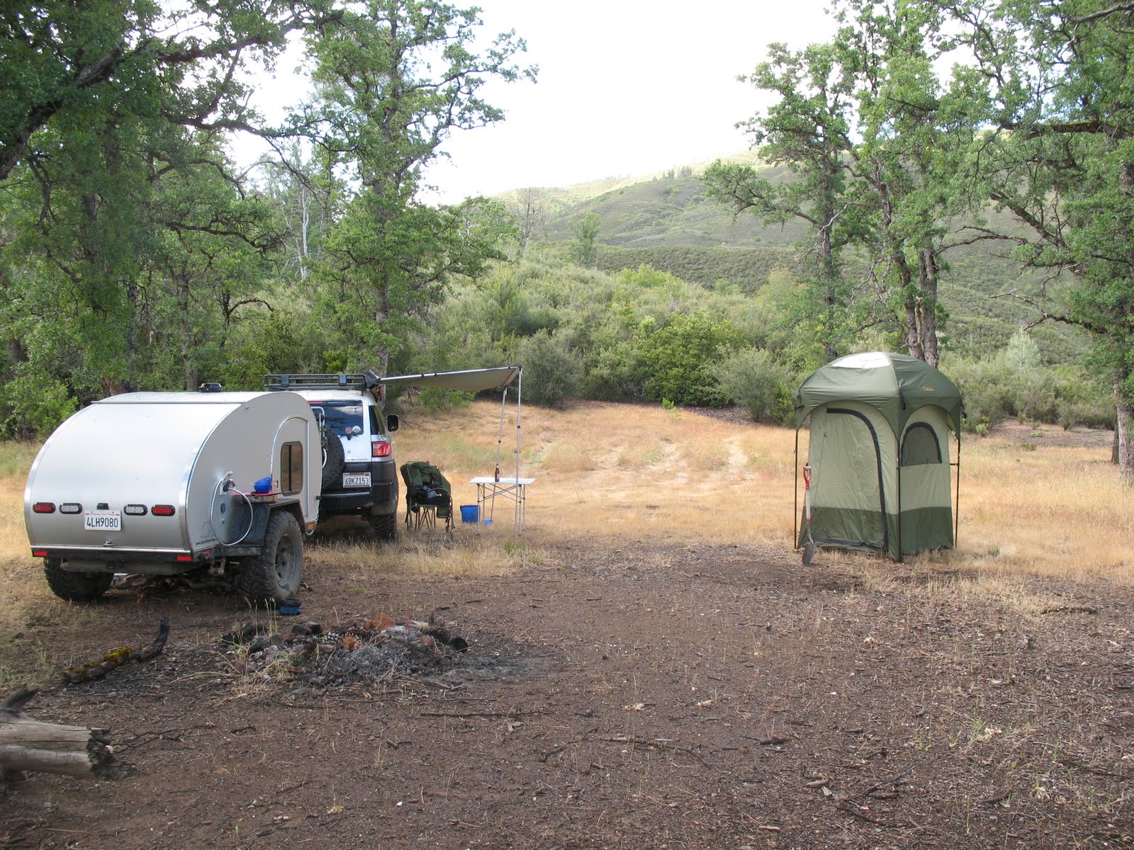 |
| The full setup - shower and all! |
The rain broke around 4:00pm, Major and I went for a hike all the way down the trail. It would be possible to get a vehicle down there(and there is a really nice camp site) but the road is very overgrown and much more rutted maybe a 3 or a 4 on a scale of 10.
Day 3
We got an early start on Day three, packed up camp early and hit the road down to Bartlett springs and also to figure out where the heck we wanted to go next! I knew of a few additional camp sites but really just wanted to explore. I was very glad to have the 20 gallons of extra fuel with us, I had to put a jerry can into the FJ for Day 3.
We drove a lot on Day 3, or at least it felt like a lot (red line below).
View Memorial Day 2011 in a larger map
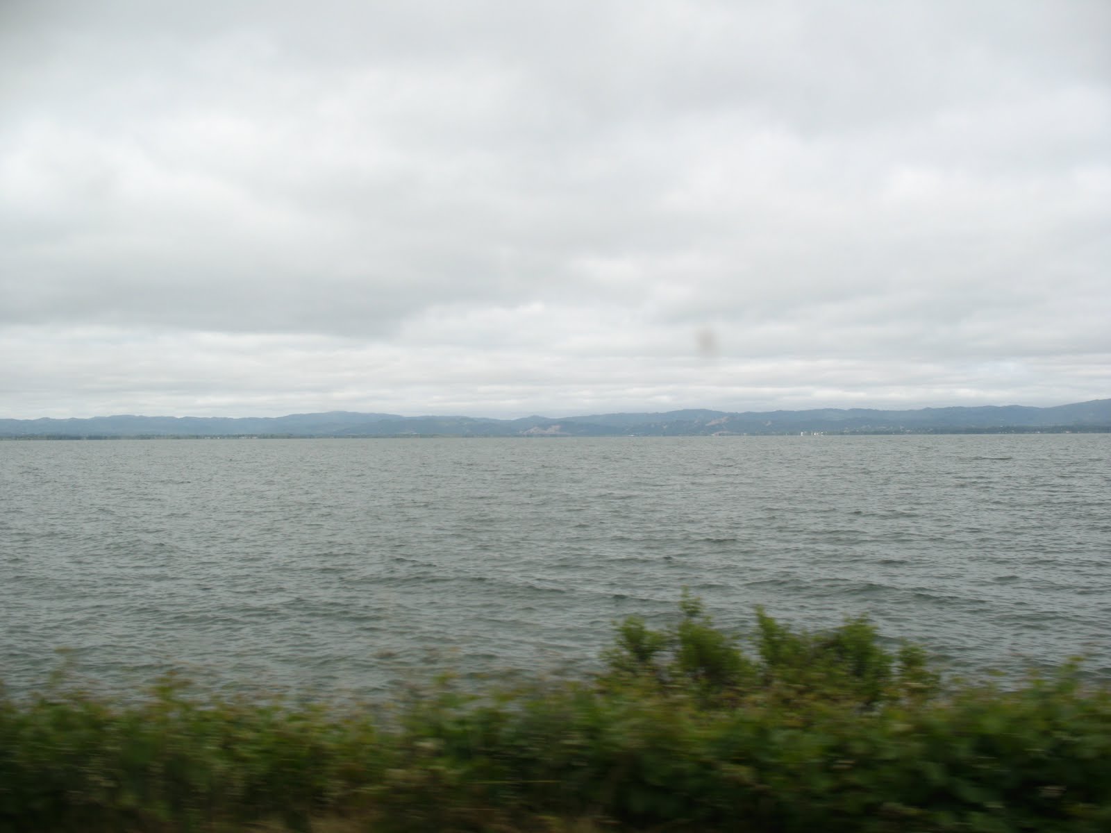
We had a few great stops! The first one was just as we got to the crossing of the north fork of Cache Creek, the water cross was pretty shallow maybe 18 inches, the water flow was not too fast at the crossing. I saw a Tacoma prerunner do it so i'm sure its possible in 2wd. Here are some pics from that area:
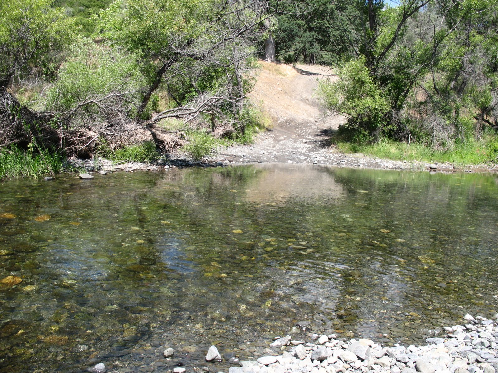 |
| The crossing - deeper then it actually looks. |
 |
| Downstream from the crossing |
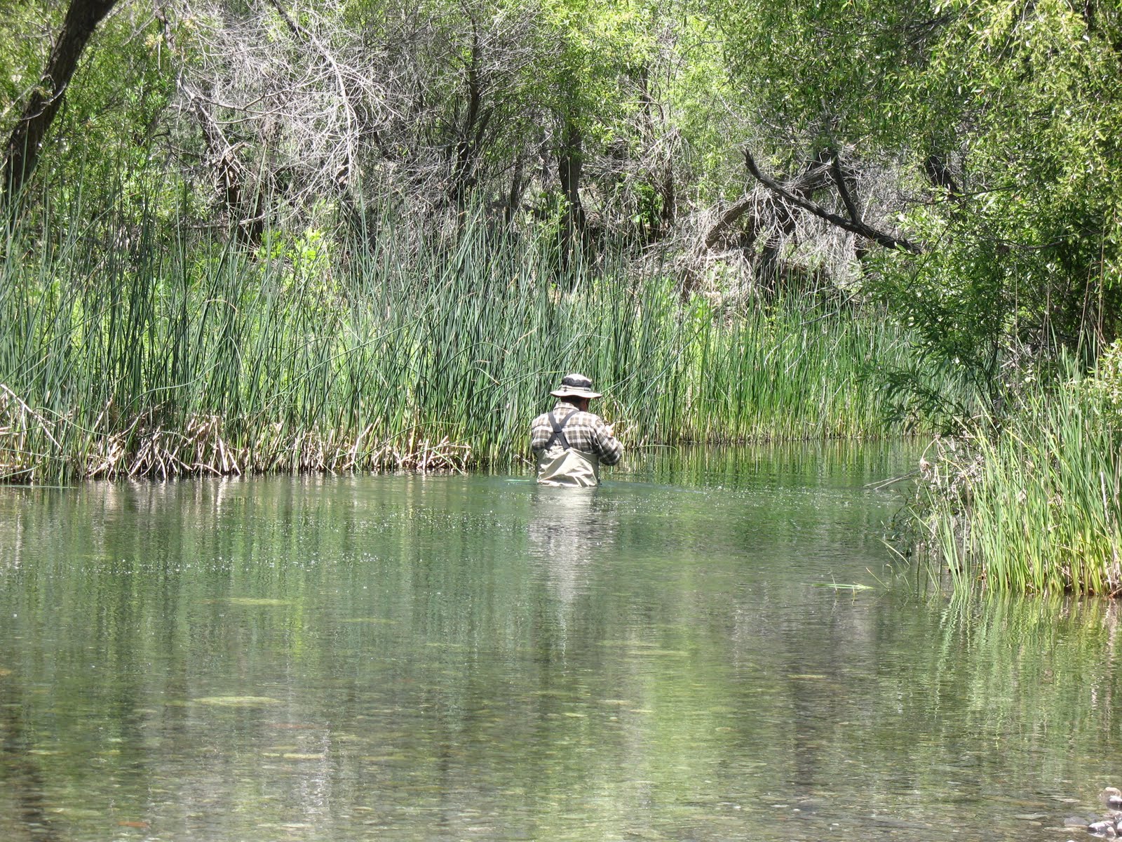 |
| Upstream from the crossing - I think this was the cast that broke my rod :-( |

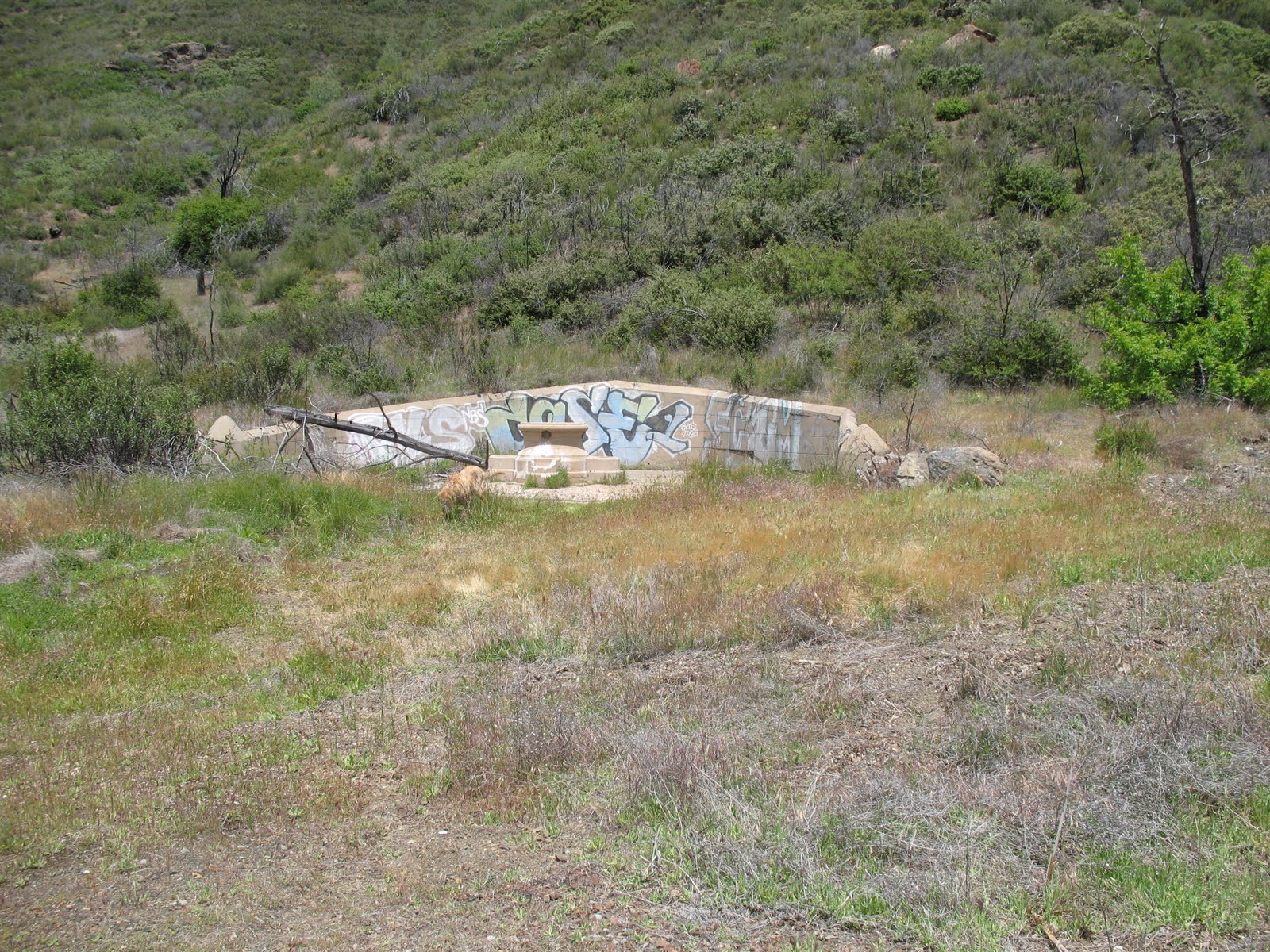 |
| The spring still flows |
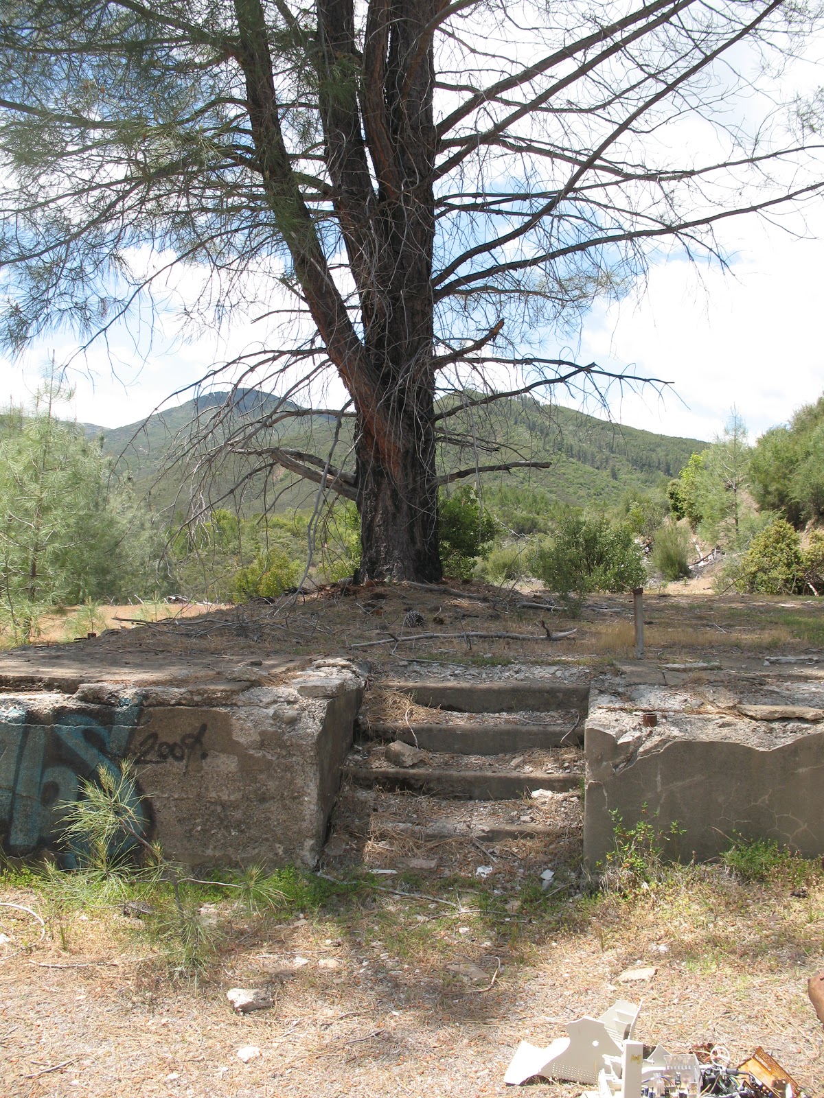 |
| Structures like this are all that is left |
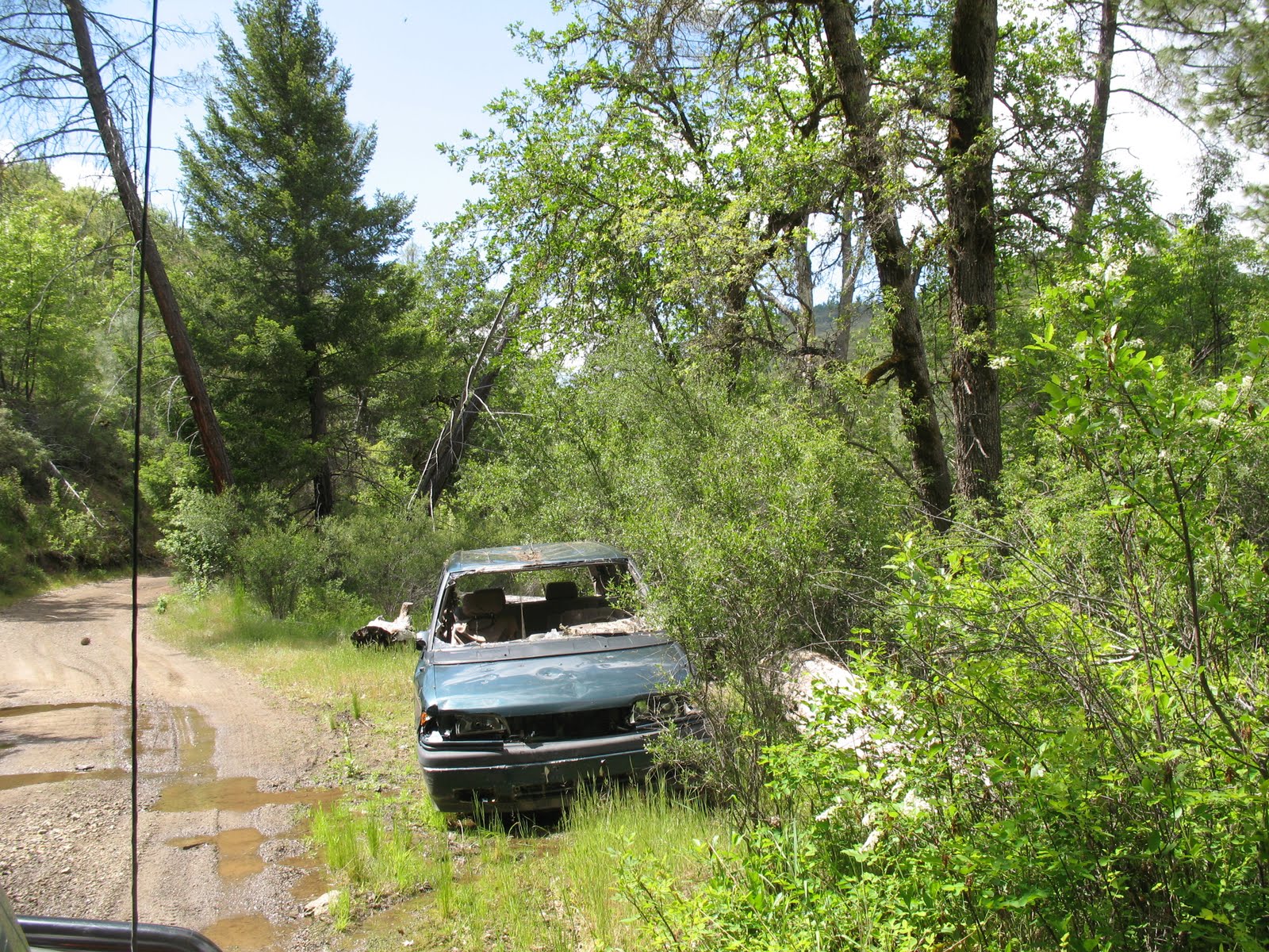 |
| Always wierd how you see cars left out in the middle of nowhere |
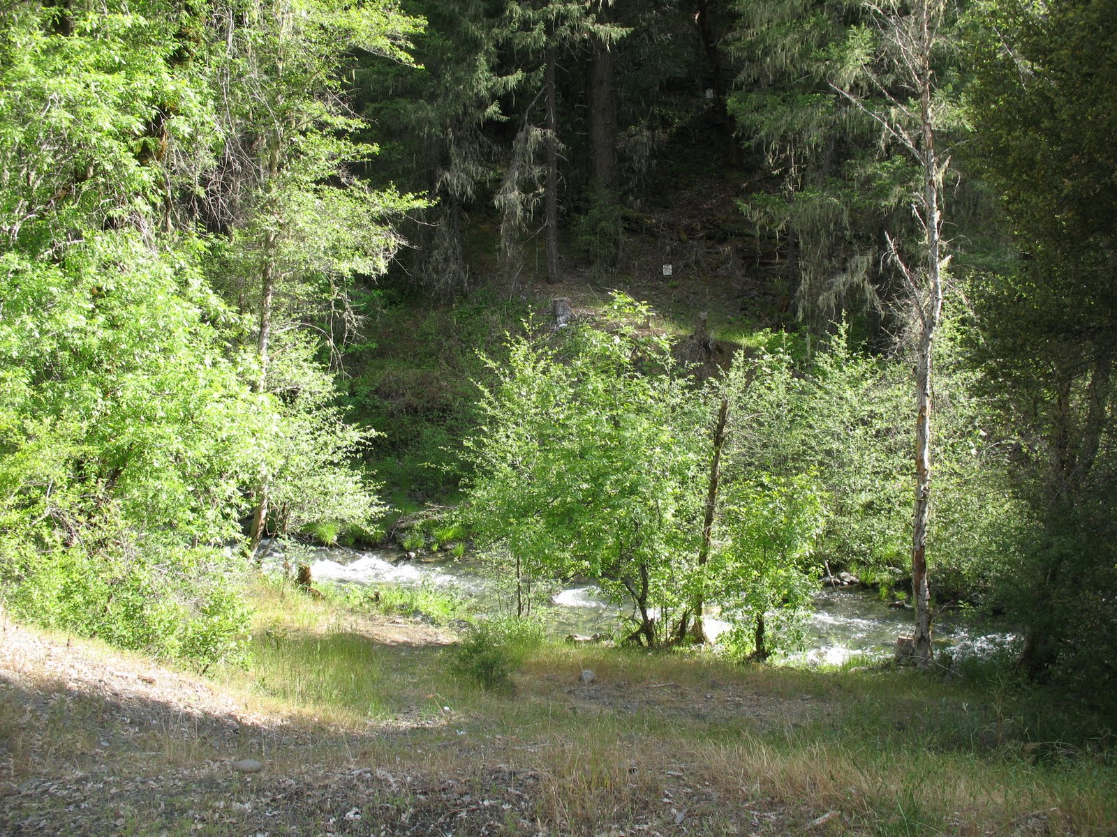 |
| Creek by Campsite #3 |
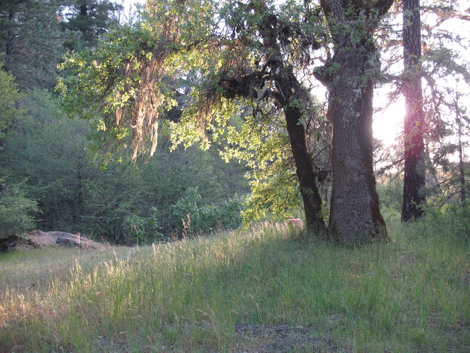 |
| Sun starting to set at campsite #3 |
Day 4
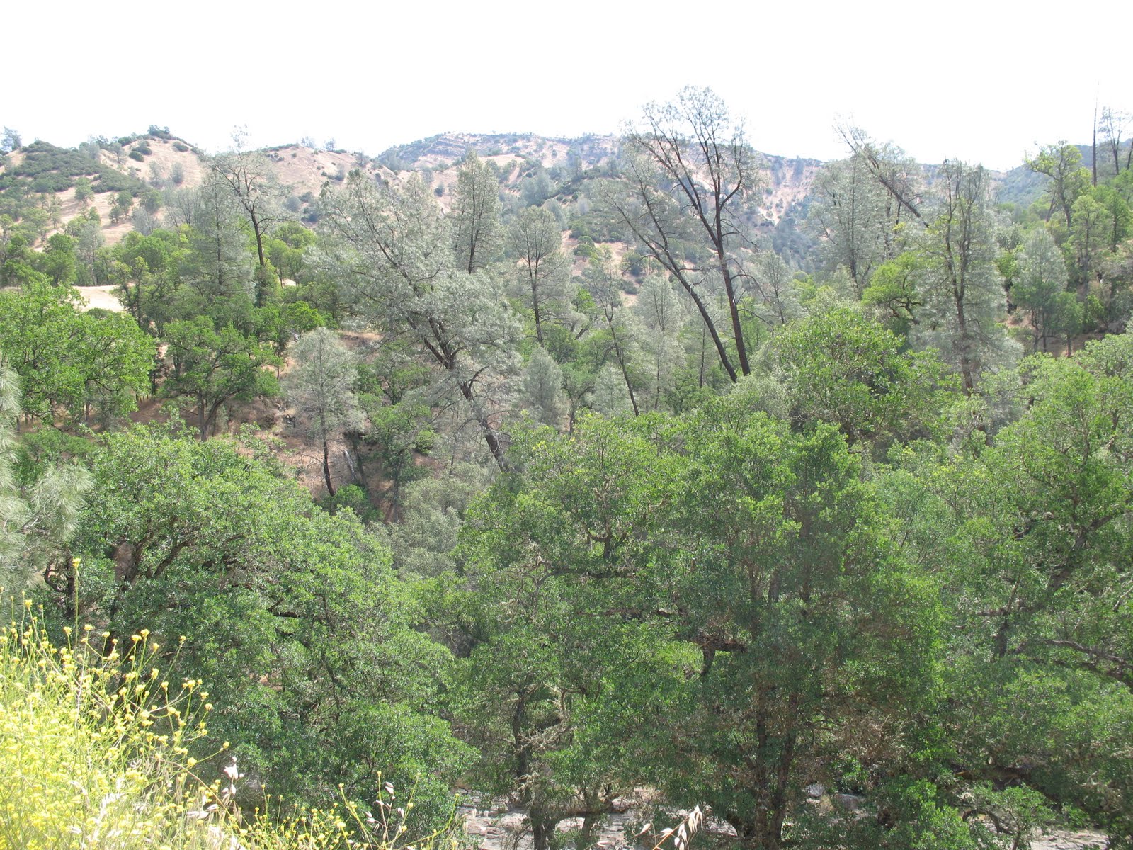
On Day 4 we got an early start as we wanted to get home at a reasonable hour. Still had some time to take some pictures on the road home though :-). These are from hwy 20 and hwy 16.
View Memorial Day 2011 in a larger map

Views: 379
Replies to This Discussion
-
Permalink Reply by Overlander36 on
-
Nice write up Esty,
Mendocino National Forest can be a nice place, but gets used by a lot of slobs also. This type of weather is the best for this area as it can be quite hot and dusty. Too bad about all the glass and garbage but that seems to be the norm in that neck of the woods. That car has been there for over a year, probably stolen. Bartlett Springs burned down during a big brush fire about 15 years ago.
Next time try going in a little farther North at Elk Creek or Paskenta, its a little more remote and tends to get you out of the white trash, meth/crack hood and into true poacher hillbilly land (they tend to be a tad better at leaving things cleaner, or maybe their windows don't work so they can't throw things out?) you can go through to Covelo and out via 101.
-
Permalink Reply by Back in Black (FJ4 Tahoe) on
-
Hey Esty,
Very cool write up...thanks for all the useful info. I think I'll find my way up there this year.
John
-
Permalink Reply by Estysalinas on
-
Your welcome! Sorry about the youtube videos...they are getting mess up for some reason...and the maps aren't embedding well either.
Badge
NorCal FJ Twitter Feed
The NorCal FJ Shop
NorCal FJ Network Status
© 2025 Created by NorCal FJs.
Powered by
![]()